Braderie de Lille map: sectors, road closures and the official PDF
The City of Lille publishes a downloadable map that divides the event into sectors: antique dealers on boulevard de la Liberté, shops in the centre, children at the Gare Saint-Sauveur. The checked link, the streets closed to traffic, and the limits of the document.
Every year the City of Lille publishes a map of the Braderie, showing the sectors, the closed streets and the access points. The file for the current edition is online as a PDF, and we checked that it really is a document, not an error page.
This page explains what the map shows, how to read it to avoid the most crowded areas, and what no map covers: prices by sector, the real density of the crowd, or closures decided on the spot.
Where can you find the official Braderie de Lille map?
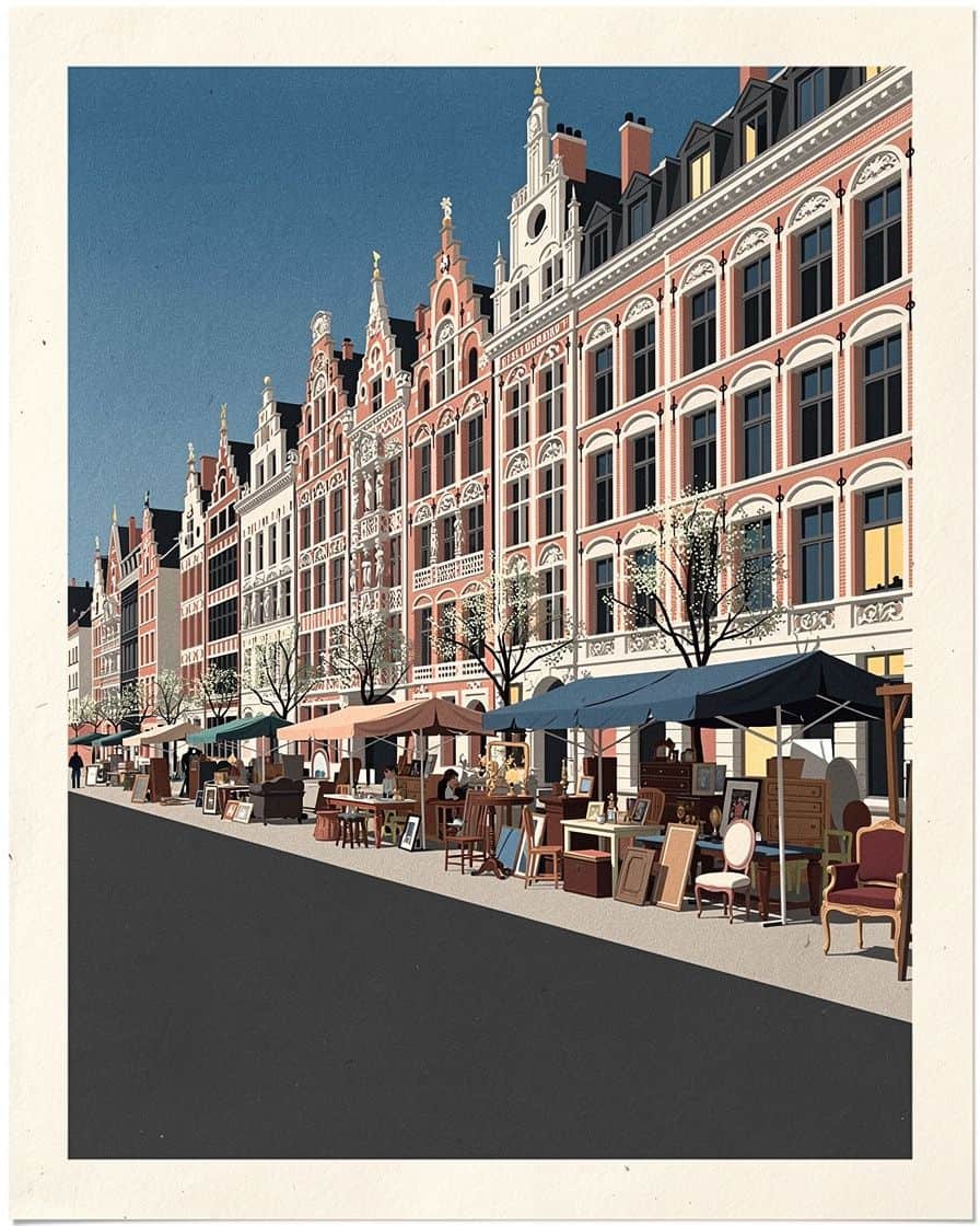
The map for the current edition is published directly by the City of Lille as a PDF: download the official Braderie map (PDF). We checked this link before publishing: it does return a PDF file.
The City republishes a file at the same address every year, as the next edition approaches. The map of a past edition is not archived separately once the new one is out: only the map for the coming edition stays online at that address.
What does the map show, sector by sector?
The map divides the event into three main zones. Professional second-hand and antique dealers gather on boulevard de la Liberté and the Esplanade. Shopkeepers set out their goods in front of their windows in the city centre. Private individuals take over Vieux-Lille and Wazemmes.
The children's braderie, at the Gare Saint-Sauveur, appears as a separate sector with its own hours: on Saturday 5 September from 8am to 7pm in 2026.
Is a past edition's map still useful the following year?
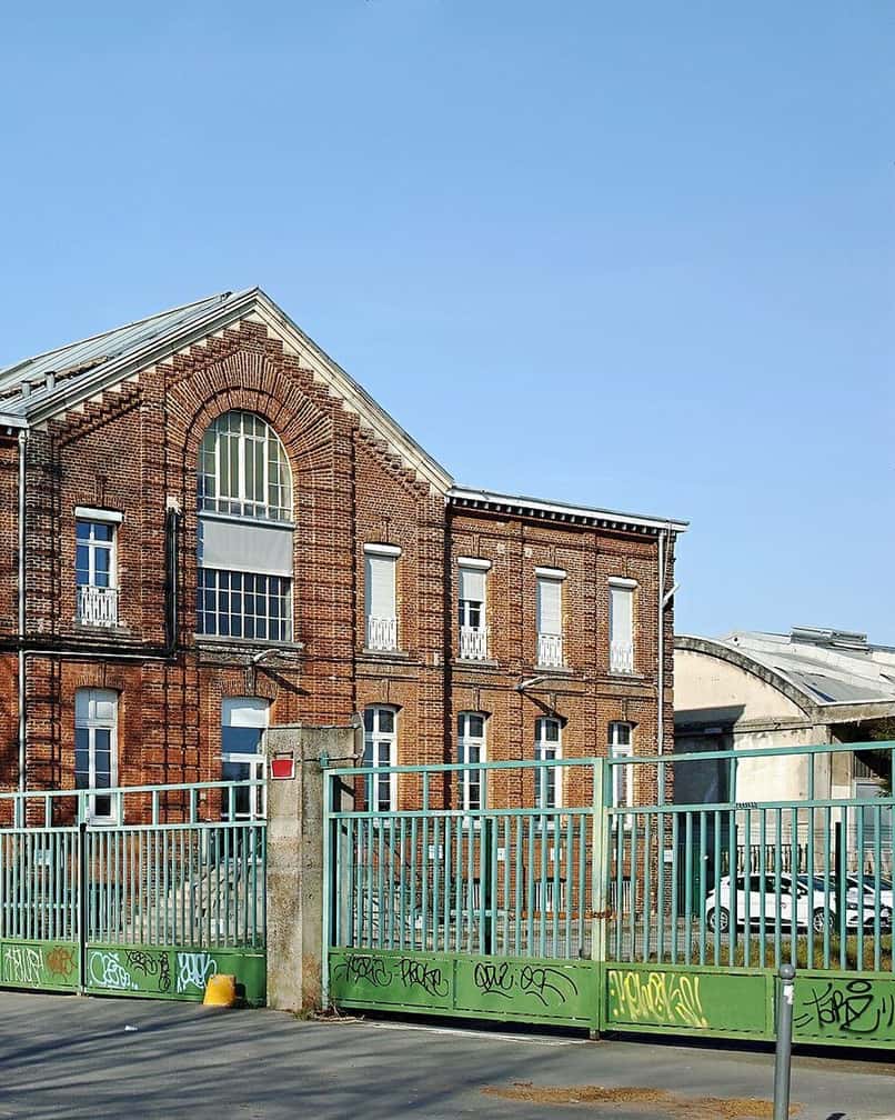
Photo: Velvet, CC BY-SA 4.0, via Wikimedia Commons
The main zones change little from one edition to the next: Vieux-Lille, the centre and Wazemmes come back every year. In 2025 the Braderie was held on Saturday 6 and Sunday 7 September 2025, over an area comparable to 2026.
What does change is the list of streets closed at short notice to manage pedestrian flows: it is not fixed, and can only be read on the current year's map, not on a past one.
Which streets does the traffic plan close?
In 2026 the area was closed to all vehicles from Friday 4 September at 7pm to Monday 7 September at 1am. Car parks inside it were locked too, from Friday 7pm to Monday 6am: a car that went in beforehand cannot get out.
Street parking is banned from 1am on the Friday. The park and ride car parks to use instead are covered in our page on park and ride in Lille.
The dates of the next edition are already known: booking a cancellable room now costs the price of an ordinary week, before demand pushes rates up.
See places to stay in Lille for Braderie weekend →Partner link: booking through it supports the site at no extra cost to you.How do you read the map to avoid the crowds?
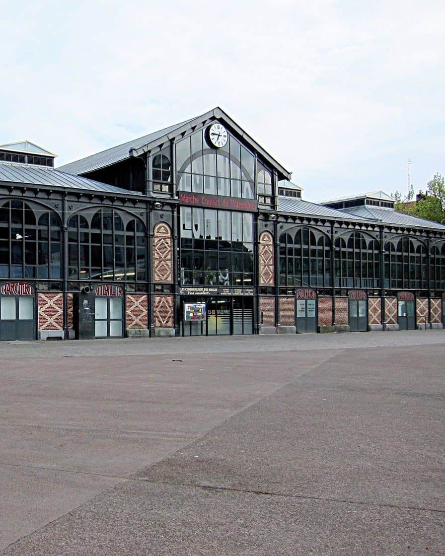
Photo: Velvet, CC BY-SA 3.0, via Wikimedia Commons
The map on its own says nothing about real density. The local press puts the busiest moment around 4pm on Saturday and the quiet spell between 8am and 11am, year after year.
To get around once you are there, the metro runs non-stop from 5am on Saturday to 12:30am on Sunday, with a train every 90 seconds to 2 minutes. The park and ride car parks offered 5,200 spaces in 2024: details are on our map of Lille.
For Sunday morning visits, while it is calm before the crowds return: a belfry climb or a guided tour of Vieux-Lille can be booked online, with free cancellation in most cases.
See the tours and activities available in Lille →Partner link: booking through it supports the site at no extra cost to you.What does the map not show?
The map gives no prices: neither the price per metre for a neighbourhood stall, nor that of a professional pitch at the Grande Braderie, described in our page on the Grande Braderie and the neighbourhood braderies. Nor does it show crowd density street by street, a figure no official source publishes.
Finally, it does not list closures decided live on the day, when a street becomes impassable: those adjustments are made on the ground, not on a document printed in advance.
Sources
reservation-braderie.lille.fr (official map as a PDF, checked by us before publication), lille.fr (Braderie de Lille map, practical information, traffic and parking access, the braderies of Lille in 2026), braderie-de-lille.fr (dates page and map page).
La Voix du Nord (crowd times, 5 September 2026), evasion.lenord.fr (2024 Braderie, map and tips), BFMTV (2025 Braderie, hours and traffic), Evous (registration and review). Research consolidated on 12 September 2026.
Frequently asked questions
Where can you download the Braderie de Lille map?
Does the Braderie de Lille map change every year?
Which streets are closed to traffic during the Braderie?
Does the Braderie map show stall prices?
How do you avoid the crowds using the Braderie map?
Élise Vandamme
Born in Roubaix, Élise has covered the braderie for eleven editions, from the setting up of the stalls to the clearing of the mussel shells on Sunday evening. She knows the streets where you can still get through at 3pm and the ones you should no longer head into. Her rule: never recommend a time slot she has not tested herself.